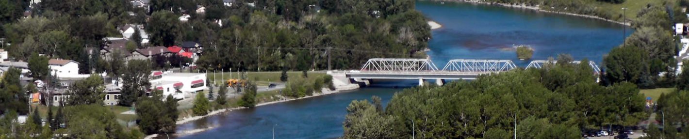
The Bow River Flood Maps page shows maps and diagrams from both the City and Province. It aims to convey information concerning both City mapping of the Bow River in and around Bowness and provide details of larger Bow River basin schemes such as upstream mitigation projects.
The 20 year Flood Inundation Mapping for the Bowness area, is taken from a series of maps provided by the City, all of which are available at the City Flood website under Flood Inundation Maps.
Also shown are details of Flood Mitigation Schemes upstream of Calgary, provided by the Province and a summary of the proposed mitigation projects for the Bow River. (Upstream mitigation, TransAlta dam control and berms).
Additional maps will be posted as they become available.